


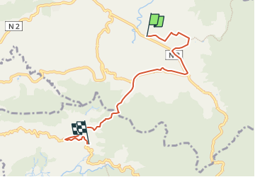

7.2 km | 11 km-effort


User GUIDE


FREE GPS app for hiking
 SityTrail
IGN / Geographical institutes
SityTrail World
The world is yours!
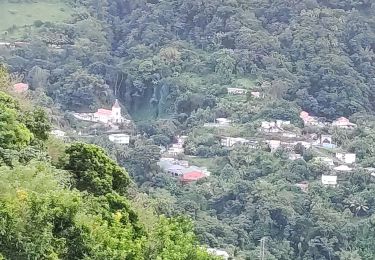
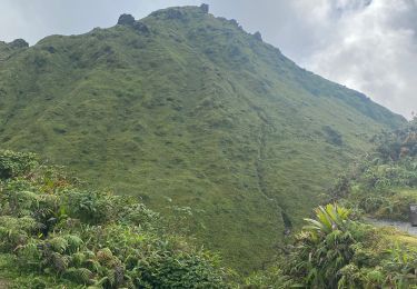
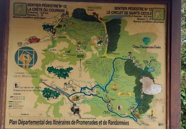
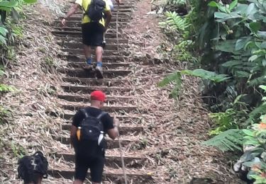
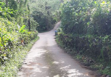
Trail On foot of 8 km to be discovered at Martinique, Unknown, Le Morne-Rouge. This trail is proposed by Lamartiniere.
Départ du Groupe Etoile prés de Socomor, direction Usine eau minérale Champflore, Etablissement Souds et Muets, direction Fonds-St Denis via le Col Yang jusqu'à La Tranchée puis direction l'Eglise pour une arrivée Place Jules Pain.
Walking

Walking
Walking
Walking
Walking
Walking
Walking
Walking
Walking